
Grand Island ZIP Code Coverage
Postal materials identify the Grand Island ZIP family as 68801 through 68803. The research did not locate an official static boundary table, neighborhood assignment, post-office service table, or complete carrier-route table for those codes. A ZIP code directory therefore should not turn the three numbers into fixed neighborhood claims. The reliable answer for a particular address comes from the USPS exact-address result.
| ZIP code | Confirmed coverage statement | Postal source | Record-search note |
|---|---|---|---|
| 68801 | Part of the Grand Island postal ZIP family | USPS exact-address lookup | No official static neighborhood boundary found |
| 68802 | Part of the Grand Island postal ZIP family | USPS exact-address lookup | Do not assume a parcel or city-limit match |
| 68803 | Part of the Grand Island postal ZIP family | USPS exact-address lookup | Verify the specific delivery address |
That limited table is intentional. No source reviewed assigned neighborhoods, a unique ZIP, a post-office station, or a PO-box-only role to each code. A postal designation can cross other boundaries. It is not a substitute for the Hall County parcel record or the city planning map.
ZIP labels also should not be used as a shortcut for a precinct or community identity. Hall County’s voter information describes 24 precincts and polling sites, while the city’s planning and GIS sources maintain a separate municipal geography. Those systems answer different questions. An address with a Grand Island postal label may still need a parcel and city-limit check before a civic or property record is requested. The research supports the postal family, but it does not support static claims about every route within it.
Grand Island ZIP Code Address Checks
USPS is the first stop when the question is whether a full address is valid or which postal ZIP applies to it. The lookup supports an exact address or a city-and-state search. Use a complete address whenever possible, because a city result is a broad starting point and not proof of parcel jurisdiction. Preserve the returned ZIP and the date of the check when it will be compared with a public record.
The official USPS ZIP Code Lookup provides the city-and-state entry route.
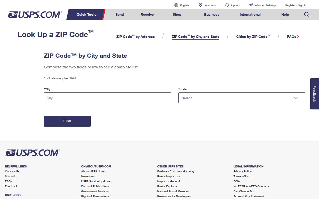
Postal validation is only the first link in the chain. It should be followed by the GIS situs and parcel ID, then the Assessor’s legal, name, or address record, and finally the Register of Deeds legal-description search. If those sources disagree, record the discrepancy and contact the office that holds the record rather than choosing the most convenient value.
Grand Island ZIP Code Search Fields
Not every local record portal can filter by ZIP. Hall County Assessor search supports parcel, legal, name, and address searches, along with property location, sale date, price, property type, status, and lot size. The inspected interface has no ZIP filter. The parcel GIS service exposes situs information but no ZIP field in the inspected schema. A ZIP search should not be described as an Assessor or GIS capability when the form does not offer it.
| Official tool | ZIP field? | What the field means |
|---|---|---|
| USPS ZIP Lookup | Yes | Postal validation for an address or city/state combination |
| Hall County Assessor | No | Search by parcel, legal description, name, address, and property filters |
| Hall County parcel GIS | No exposed ZIP field | Situs, parcel ID, legal description, coordinates, and owner text |
| Nebraska HHS license search | Yes | License-record filter, not proof of residence |
| Nebraska registry | Yes | Statutory safety-search field, not a general people directory |
Search fields describe the record system, not the person. A ZIP in a professional-license result or registry result must remain within that system’s legal and factual limits. It cannot be used to construct a broad list of Grand Island residents.
Nebraska HHS License Search is the clearest ZIP-capable official form documented in the research. Its Individual tab combines the ZIP field with first and last name, license number, status, profession, license type, city, and county. That combination can narrow a license question, but it should be reported as a license result and nothing more. Nebraska’s Sex Offender Registry also permits name, county, city, ZIP, and one-to-three-mile location searches. Its public data is a safety tool operating under specific statutes, not a general Grand Island ZIP code directory. The registry FAQ identifies records from January 1, 1997 and tells users to seek further information from the arresting agency or court.
Finding a Grand Island ZIP Code
When a postal code is needed for a specific records question, work from the address outward. This avoids the false promise of a ZIP-wide people search and produces a note that another researcher can check.
- Enter the full address in USPS and keep the returned postal ZIP with the access date.
- Open Hall County/Grand Island GIS, identify the parcel, and record the situs, parcel ID, and legal description.
- Use the Assessor search for the legal, name, or address record and compare its property information with the GIS result.
- Search Nebraska Deeds Online by legal description if an instrument question remains. Use visible portal labels and do not infer a ZIP-based deed search.
Once a ZIP has narrowed an address, the Grand Island by-street directory has the separate address-record workflow. A ZIP code directory stays focused on postal validation and geographic comparison instead of rebuilding the full street chain.
Grand Island ZIP Code and City Limits
Postal city, ZIP, parcel jurisdiction, municipal boundary, precinct, and neighborhood are different overlays. Nebraska’s municipal-boundary records list Grand Island Ordinance 9938 as effective April 1, 2024. That change is a reason to check a current planning or GIS source instead of treating a ZIP label as a city-limit determination. The research does not document a static Grand Island ZIP map that could settle every address question.
The state’s municipal boundary changes page is the official source for the recorded boundary-change entry.
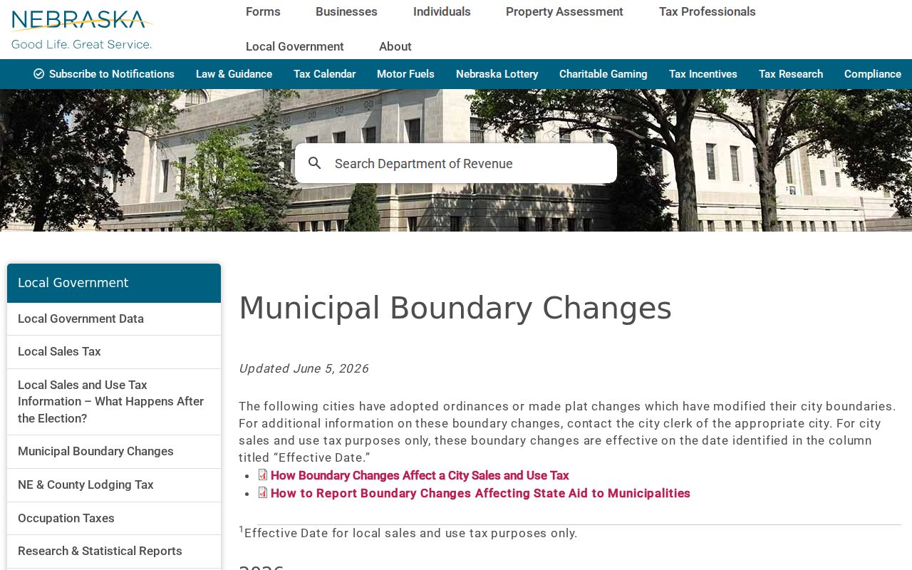
For a building, permit, zoning, or city-clerk request, ask the responsible office to confirm jurisdiction. The City Clerk route and Hall County Building Inspection route are distinct. A Grand Island mailing name alone does not decide which custodian owns a particular record.
That distinction affects request wording. A city request can name the street address or parcel, date range, department, record type, and whether inspection or electronic copies are preferred. Hall County Building Inspection is the route for its published permit forms and address-specific request path, while the City Clerk holds council proceedings, ordinances, resolutions, agreements, conditional-use permits, liquor licenses, and deeds in its custody. No complete citywide permit-search portal was located. Saying which office is needed is more accurate than claiming that a ZIP directs every city or county record.
Grand Island ZIP Code Map Sources
The city’s regional-planning GIS and maps page is a useful direction to current map resources, while the county/city parcel viewer is the parcel-level route. Use map layers to understand the location of a parcel and its civic geography. Do not state that a GIS view offers a postal boundary, ZIP radius, or carrier route unless the live source documents that layer.
The Grand Island regional planning GIS and maps page collects the city’s mapping entry points.
This distinction is the local geography myth worth remembering: postal delivery and local government responsibilities are not interchangeable. A documented parcel ID and legal description are more stable joins across Assessor, GIS, and Register of Deeds sources than a ZIP alone.
Grand Island ZIP Code Terms
Postal terms can look more precise than they are. They help describe mail routing, while property and legal records rely on different identifiers. Keep the terms separate when saving notes or requesting a record.
- ZIP and ZIP+4
- A ZIP identifies a postal delivery area; ZIP+4 adds a narrower delivery segment for mail sorting.
- PO-box ZIP
- A postal ZIP assigned to post-office box delivery rather than a broad street-delivery area.
- Unique ZIP
- A postal designation associated with one large recipient or institution, when USPS assigns one.
- Carrier route
- A mail-delivery sequence used by USPS, not a municipal or parcel boundary.
No official local source in the research assigned a PO-box or unique role to one of Grand Island’s three listed codes. The definitions explain the terms without filling that gap with a guess.
Grand Island ZIP Code Record Limits
A ZIP can validate a mailing detail, but it cannot prove current residence, ownership, or a relationship. The county GIS owner text may not match the most recent deed because source dates differ. Voter registration is a current-registration tool with its own rules. Professional licenses and safety registries expose ZIP fields for their separate statutory searches. Treat each as a dated record, not a merged personal profile.
Use the narrowest source. For an address question, verify USPS, GIS, Assessor, and deed data in order. Do not turn a postal code into a list of people or use it to watch, harass, or intimidate anyone.
The strongest final note names the custodian, source URL, date, record type, fields seen, and any mismatch. That is more useful than an unsupported claim about where a ZIP begins or ends.
When a result is not found, preserve that fact carefully. “No result in this portal” does not mean that no record exists. Check the portal’s stated limits, the relevant date range, the local custodian, and the archival route before drawing a conclusion. The research expressly found no static ZIP and neighborhood table for Grand Island, so that absence belongs in a defensible note rather than being filled with a colored boundary or a claimed postal route.