
Grand Island Neighbors by Block
Public sources describe different parts of a block. Hall County/Grand Island GIS can show a parcel polygon, current-owner text, legal description, situs, coordinates, and area. The Assessor is the property-value and sale-data route. Voter registration and restricted voter-file systems have different legal limits. Community pages may show a public mission or contact, but the research did not find a comprehensive official neighborhood-association directory or a public member-roster system.
| Block source | What it can show | Access and limit |
|---|---|---|
| Hall County/Grand Island GIS | Parcel ID, situs, owner text, legal description, neighboring polygons | Public map; owner text is not a verified identity |
| Hall County Assessor | Parcel, legal, name, address, and property filters | Online search; no ZIP filter observed |
| Nebraska Voter Check | Current registration information for an individual lookup | Not a blockwide people directory |
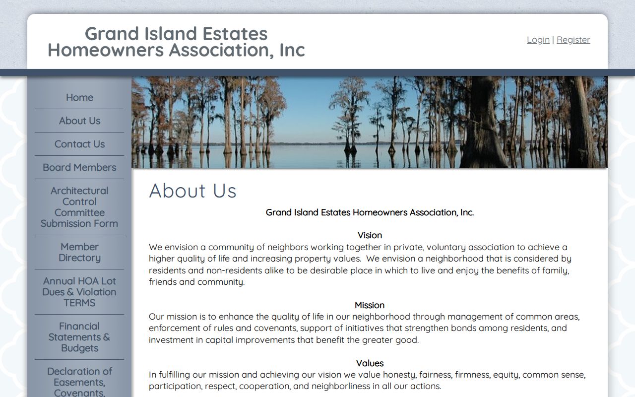
| Grand Island Estates HOA page | Common-area, covenant, and initiative information | Public mission page; no member directory found |
| Heritage Room sources | Historical directories, newspapers, and local-history material | In-library collections; historical context only |
Ownership and occupancy are not interchangeable. A parcel record can identify a recorded owner or mailing detail, but it does not establish who is currently present at the address. The same caution applies to a historical directory, obituary, or community listing. Keep the date and record type beside every result.
The Register of Deeds records deeds, plats, mortgages, reconveyances, death certificates, tax liens, and related real-property instruments. Its online Hall County route supports instrument or index number, name-style searching, legal-description components, book and page, and a plat PDF control. When a parcel result raises an ownership question, search its legal description instead of treating a nearby GIS label as a final answer. The office records instruments and connects to GIS, but it does not provide a title opinion.
Map Grand Island Neighbors Carefully
The local parcel workflow starts with one address, then moves only to the polygons that touch or sit nearby on the map. The parcel layer exposes current-owner text, legal description, situs, coordinates, and area. Preserve the parcel ID because it is the stable join between GIS, Assessor, and Register of Deeds records. Do not describe nearby parcels as a social group or assume that an owner is an occupant.
- Validate the supplied address with USPS and locate the parcel in Hall County/Grand Island GIS.
- Record the target parcel ID, situs, legal description, and access date before opening nearby polygons.
- Click each neighboring polygon separately and record only its displayed parcel facts. The inspected application has a Measure widget for spatial context.
- Compare a selected parcel with the Assessor search, then use the Register of Deeds legal-description search for a recorded-instrument question.
For the complete record chain along a named street, use the Grand Island by-street directory. The block method stays close to one address and avoids pretending that the map supplies a radius list.
Grand Island Neighbor Map Limits
The useful insider detail is also a limit: the parcel application supports clicking neighboring polygons and using Measure for spatial context, but the inspected configuration did not expose a documented radius or buffer tool. A request for everyone within a distance should not be represented as a GIS function when the local map has not documented one. Review the individual parcels visible around the address instead.
The Hall County/Grand Island parcel viewer is the source for the map-based parcel check. The map is not a title opinion. A GIS owner string can differ from a later deed grantee because the sources reflect different dates or update cycles. When that happens, note the difference and ask the Register of Deeds about the recorded instrument rather than merging the two names.
Grand Island Neighbor Organizations
Public community pages are useful for learning where a group works or how it describes its mission. They are not proof that an address belongs to a member, and they should not be used to build a resident list. The research found named public organizations, but no official comprehensive association directory or public roster. The table keeps the available contact layer separate from private household information.
| Public organization | What the public source says | Directory boundary |
|---|---|---|
| Grand Island Estates HOA | Common-area management, covenant enforcement, initiatives, capital improvements | No member directory located |
| Creative District | Railside and 4th Street districts with partner-organization links | Not a resident roster |
| Grand Island Chamber directory | Private membership organization with category, location, ZIP, and A-Z discovery controls | Entries can be incomplete or stale |
| Heritage Room and historical groups | Local history, genealogy, newspapers, and research contacts | Historical or institutional research layer |
The public Grand Island Estates HOA page shows the kind of association information that is available without exposing a roster.
Use the contact or mission page to understand a community organization’s scope. Confirm any address-specific issue directly with the organization or the responsible government custodian, not by inferring membership from a parcel or mailing address.
Grand Island Neighbor Discovery Sources
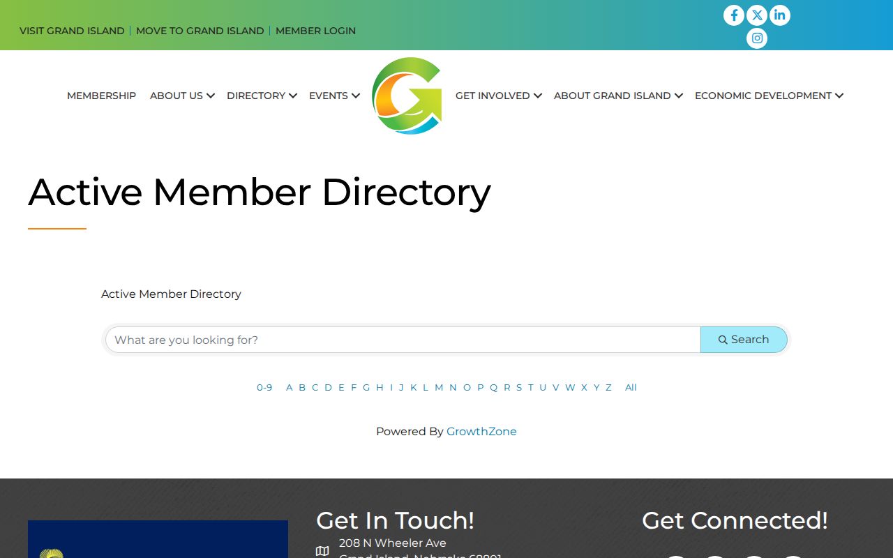
The Grand Island Chamber directory is a separate discovery layer for participating businesses and organizations. Its visible controls include a search phrase, category and location dropdowns, My Zip Code, and A-Z options. It is maintained by a private membership organization, so it may omit local groups or contain dated entries. Its purpose is community discovery, not a source for who lives on a block.
The Grand Island Chamber directory illustrates that category-based public discovery layer.
Creative District partner information adds another institutional layer in Railside and the 4th Street districts. It can point to cultural and civic partners, but it should never be treated as evidence about an individual address or household.
Grand Island Neighbor History Sources
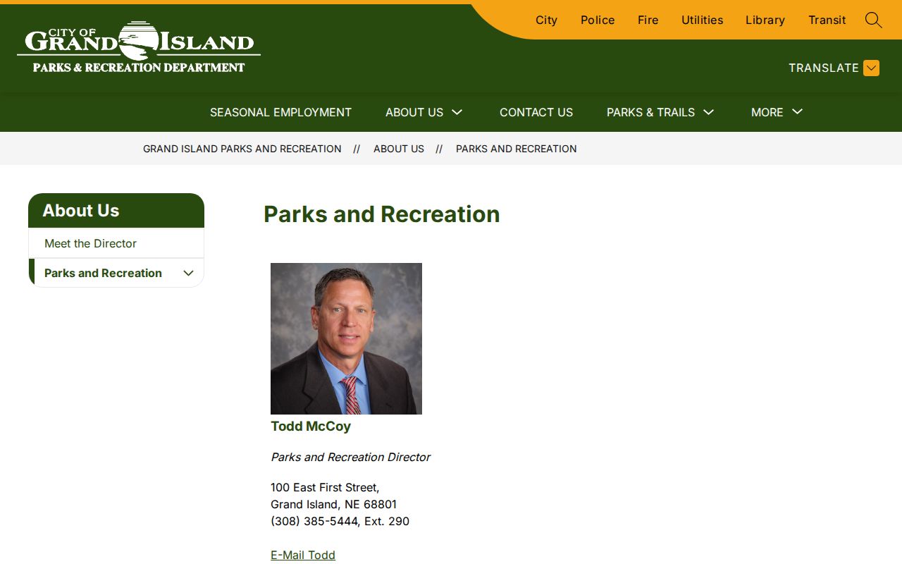
Historical context sometimes explains a block better than a current name result. Grand Island’s May 2026 cemetery map announcement describes name search, mapped grave locations, cemetery records, and nine QR signs. The city parks page describes Grand Island Cemetery as a 90-acre tract with more than 150 interments annually. A memorial or plot hit is not proof of current residence, relationship, or present status.
The city parks Grand Island Cemetery information page is the source for the cemetery context.
For historic household questions, the Heritage Room, city directories, newspapers, census records, atlases, and the 1909 Sanborn sheets can provide dated context. Label it as historical and confirm facts with the custodian or an obituary when a relationship or identity claim matters.
Grand Island Neighbor Source Comparison
Official rolls are maintained for defined government functions and disclose only the fields their rules allow. They are often dated, partial, and tied to an office’s jurisdiction. Commercial neighbor-lookup tools are a separate category: they may combine older sources, charge for access, or present incomplete matches. Neither category eliminates the need to verify a parcel, case, or certificate with the responsible custodian.
Practical comparison. Use GIS and Assessor sources for parcel facts, the Register of Deeds for recorded instruments, and community pages only for their published mission or contact information. Keep a source date with every note.
The city’s Creative District page shows the public partner-organization layer for Railside and 4th Street.
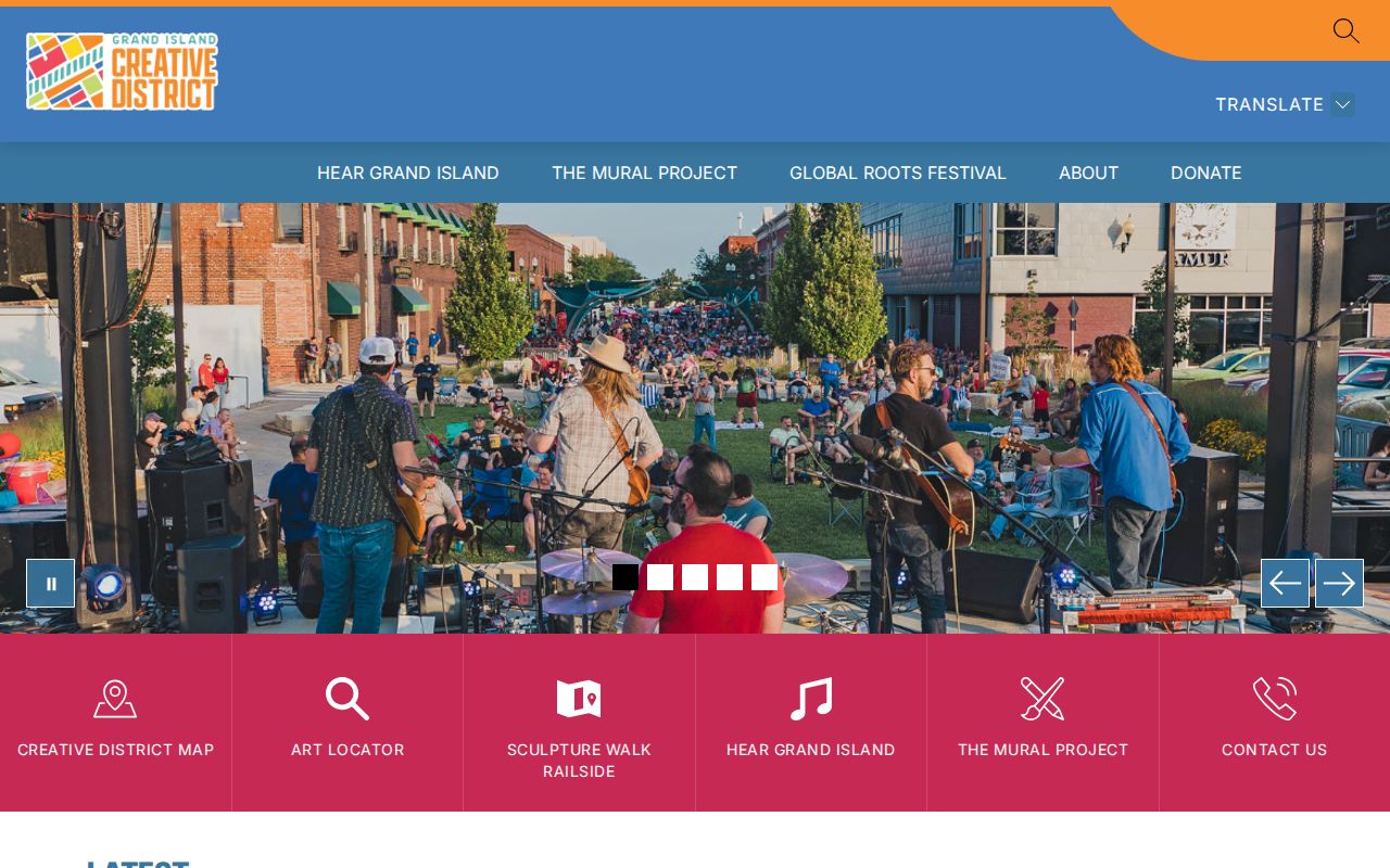
That source can identify an organization’s public role. It cannot confirm that a person, parcel owner, or household participates in it. Separate official property facts from community leads so Grand Island neighbors remain a block-focused, privacy-aware question.
Grand Island Neighbors and Voter Data
Nebraska Voter Check is a current-registration lookup. The local description identifies returned current name, address, party affiliation, and polling site, but the exact live field controls were not safely observed in the research. It should not be used as a general people directory. Hall County has 24 precincts and polling sites, yet a precinct is election geography, not a neighborhood boundary.
The statewide voter file is a distinct restricted product. It requires an annual affidavit and permitted purpose, costs $500 through the state route, and may not be posted, displayed, used commercially, or placed on the Internet. The Hall County candidate or campaign list also requires an oath and a request with district or precinct details. Neither route is a casual block lookup.
Grand Island Neighbor Privacy Limits
Nebraska’s Address Confidentiality Program protects an eligible person’s actual address through a substitute mailing address. Vital, DMV, adoption, and other sensitive records have their own rules. Public availability of one parcel field does not authorize copying sensitive identifiers or using a map to target someone. For a correction or suppression question, identify the source and ask the custodian about its authority.
Lawful use. Grand Island neighbors can be researched for community curiosity, family history, or a parcel question. Nebraska’s stalking statute, §28-311.03, covers willful harassment intended to injure, terrify, threaten, or intimidate.
Keep the final record note simple: source, date, jurisdiction, record type, fields seen, and what was not checked. That protects against turning a nearby parcel into a claim about a person.
Nebraska Public Records Act guidance describes records as generally open unless a statute makes them confidential. It also notes that privacy is record-specific and that the Attorney General can review a denial. A precise written request names the department, record type, address or parcel, date range, and desired format. It asks for an existing record rather than a new analysis. That process respects both public access and the limits that protect neighbors from unnecessary exposure.